Desktop GIS
GeoCalc GIS 2
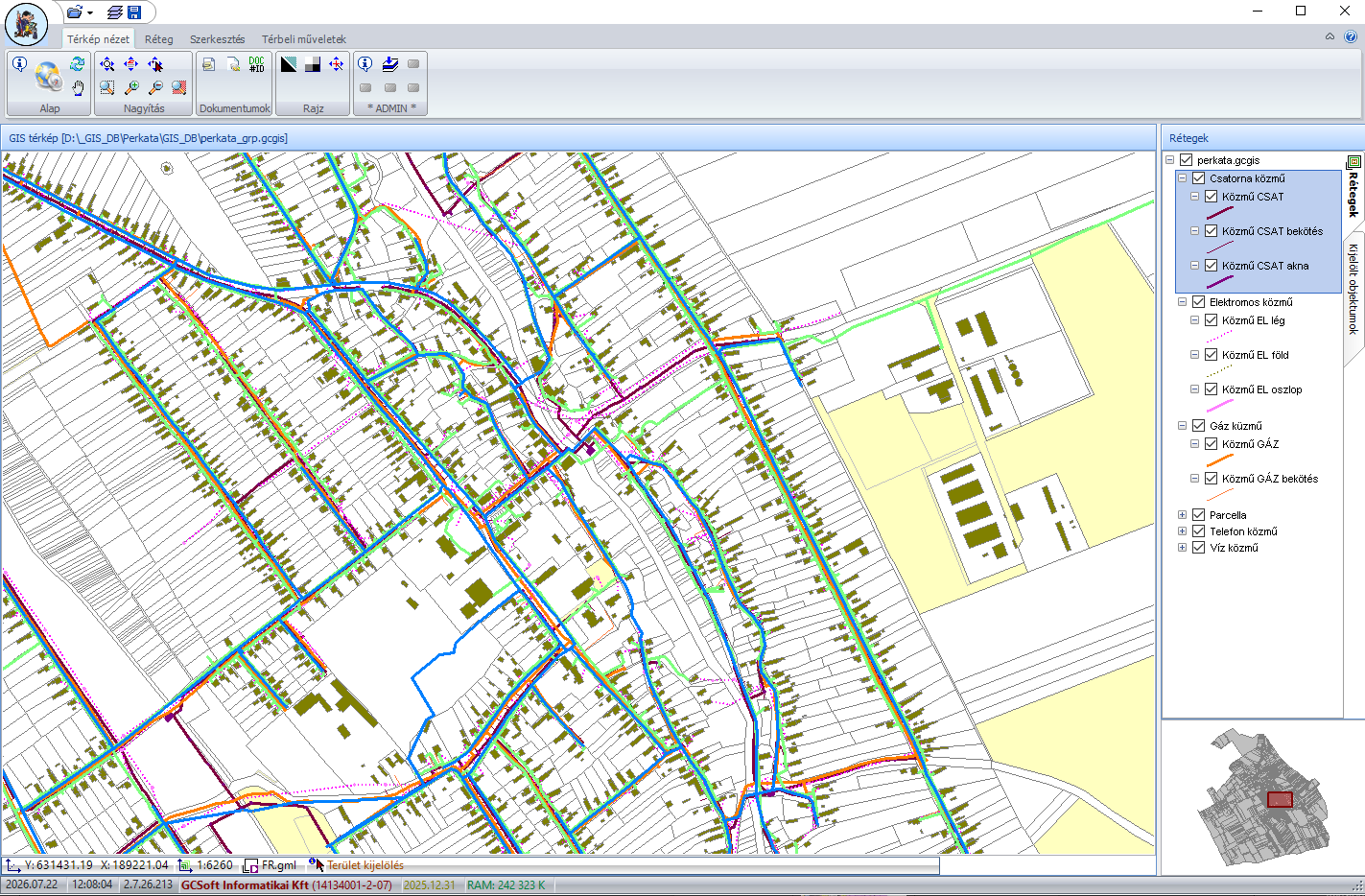
Standalone GIS application with professional GIS features for 32-bit and 64-bit Windows.
- No separate GIS system required
- Management of map and attribute data
- Extendable with domain-specific modules
GIS · Cemetery records · Custom development
Professional GIS solutions, domain-specific record systems and custom applications for businesses and local governments.
GIS software, domain-specific record systems and custom applications tailored to your workflow.
Who is it for?
GCSoft solutions
From map data management and domain-specific records to custom multi-platform applications.
Desktop GIS
Standalone GIS application with professional GIS features for 32-bit and 64-bit Windows.
Domain-specific records
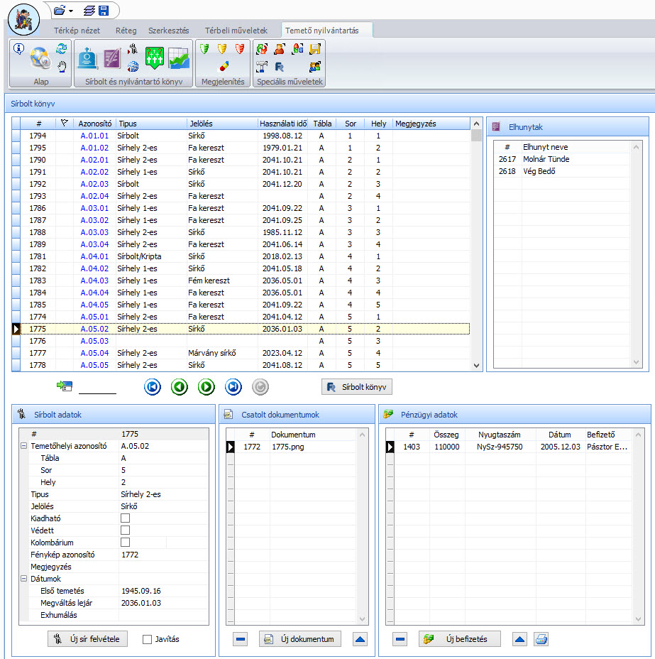
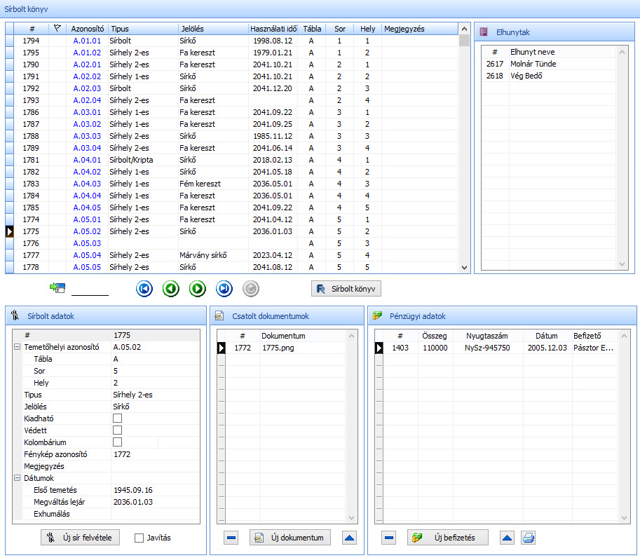
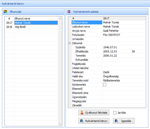
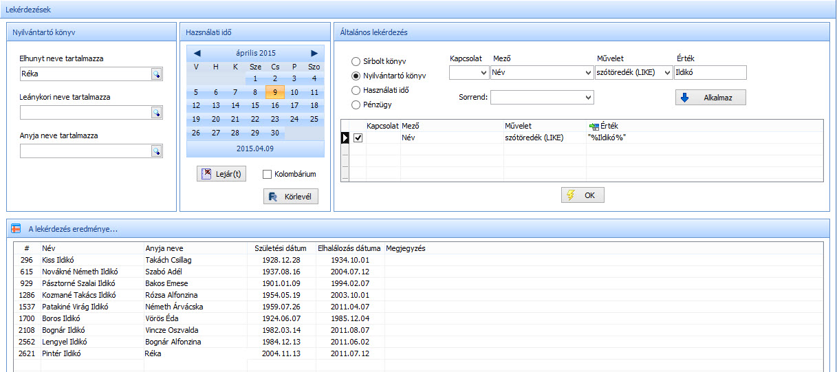
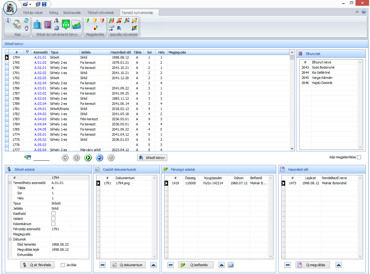
By managing map and attribute data together, it enables fast searching and a clear overview of all grave-related information.
Custom development
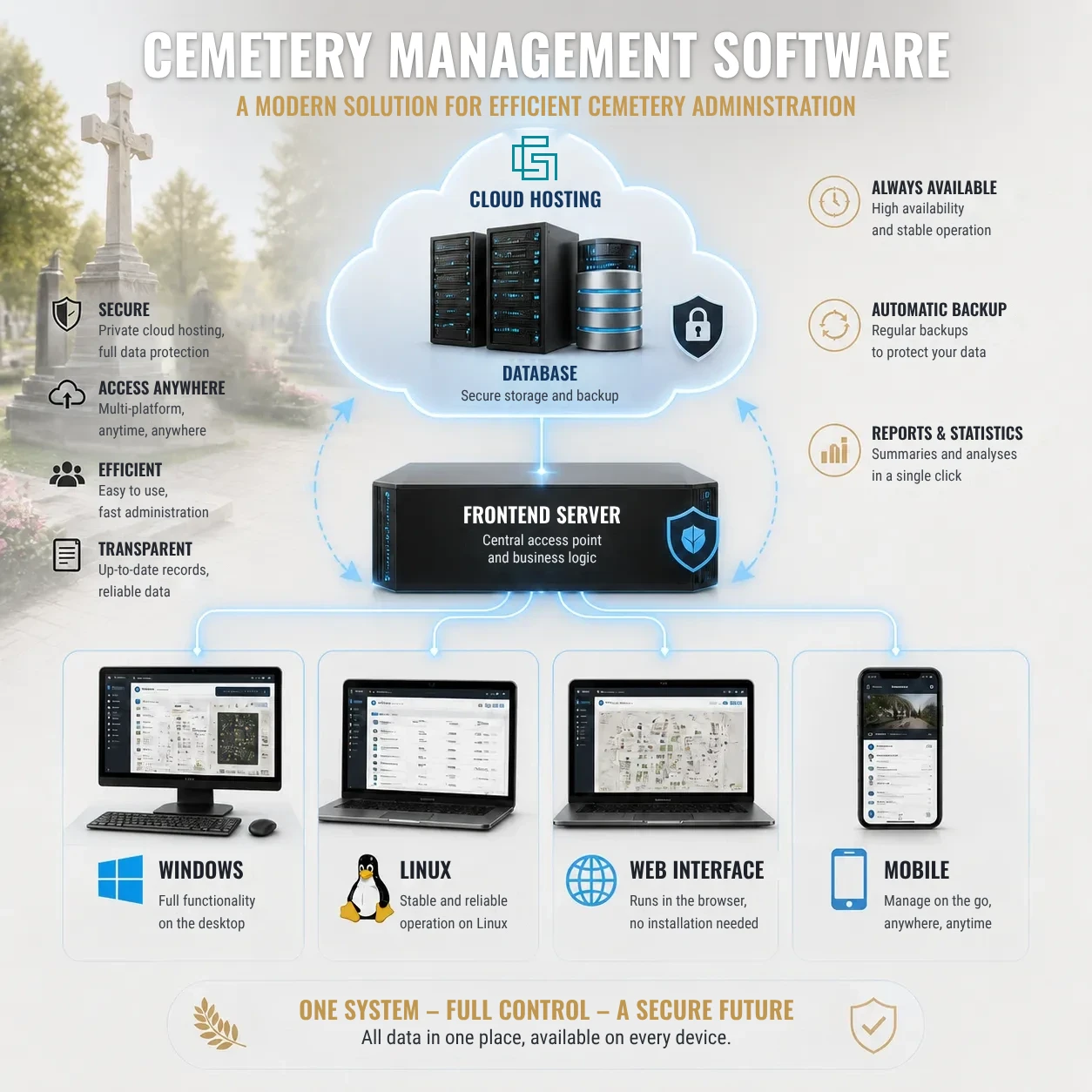
Custom desktop and mobile applications tailored to your business or institutional processes.
GeoCalc 3.5
Since 1990, GeoCalc 3.5 has been “the” geodetic software package for processing field survey data recorded manually and/or with data collectors.
Map and database
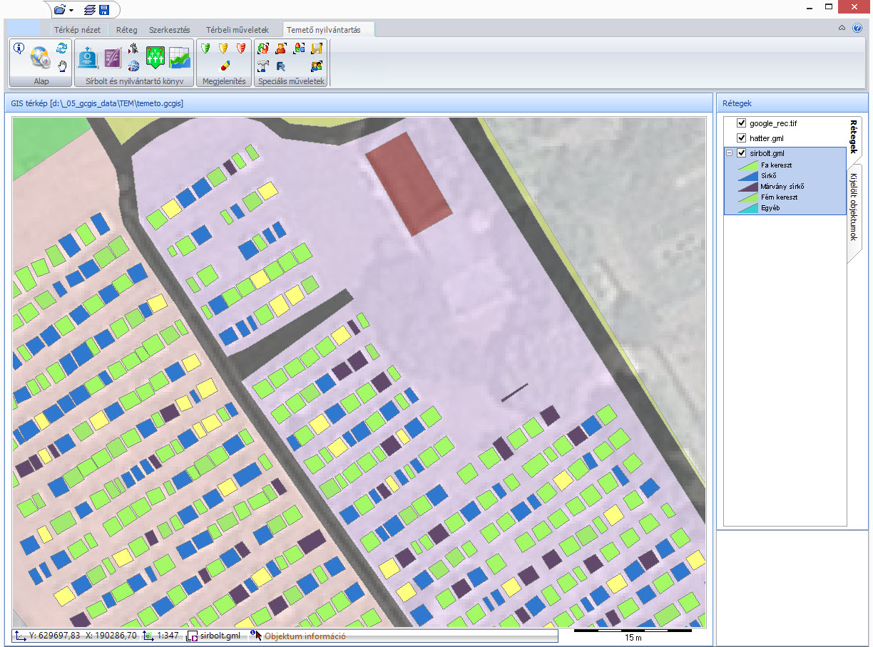
The core idea of GeoCalc-based systems is that geographic objects and their attribute data are handled in one and the same workflow.
The location and relationships of objects can be understood visually at a glance.
Structured, searchable attribute information can be linked to map features.
The system can be tailored to the specific record-keeping task and organizational process.
Screenshots
Click an image to open it in full size.
Licensing and support
The software is available under an annual usage license; the license period runs from January 1 to December 31. GCSoft provides information on modules, individual pricing and support terms directly.
Get in touch
Briefly describe your record-keeping, GIS or development needs, and we will get back to you directly.